Object ID:
2015.3.6.1
VE Exhibit Label 1:
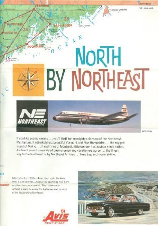
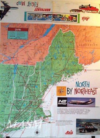
This Rand McNally & Co. map features Northeast Airlines routes from New York to Philadelphia, Washington DC to Tampa/Miami, Montreal, Boston and points in Vermont, New Hampshire and Maine.
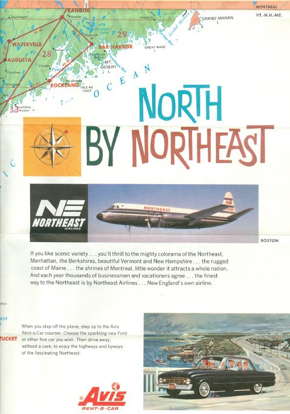
The map showcases Avis Rent-a-Car's "gleaming new Ford or other fine" automobiles available when you "step off the plane".
It is interesting to note the descriptive language on the map highlighting radar-guided planes for safety as well as being pressurized and air-conditioned for comfort. Crews and skilled maintenance technicians are all praised.
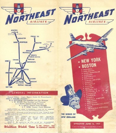
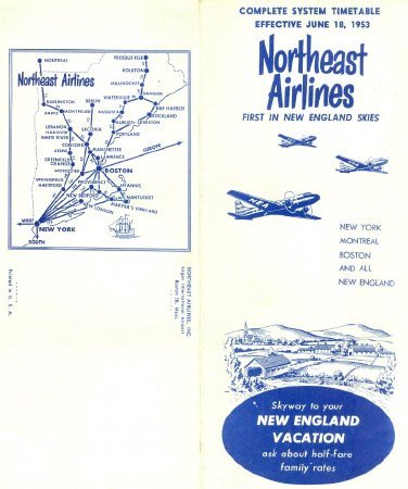
As you scroll down to view the Flight Schedules, note that they show the expanding routes and changing graphics and mottos over time. Notice on the back of the 1947 brochure that "Waltham Watch Time is the official time of Northeast Airlines".
The map showcases Avis Rent-a-Car's "gleaming new Ford or other fine" automobiles available when you "step off the plane".
It is interesting to note the descriptive language on the map highlighting radar-guided planes for safety as well as being pressurized and air-conditioned for comfort. Crews and skilled maintenance technicians are all praised.
As you scroll down to view the Flight Schedules, note that they show the expanding routes and changing graphics and mottos over time. Notice on the back of the 1947 brochure that "Waltham Watch Time is the official time of Northeast Airlines".
Click to Enlarge
 Northeast Airlines "North by Northeast"
 Northeast Airlines Map Front
 Northeast Airlines Map Reverse
 Northeast Airlines Flight Map
 Northeast Airlines Schedule & Route Map 1947
 Northeast Airlines Schedule With Route Map 1953
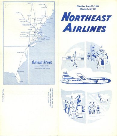 Northeast Airlines Schedule & Route Map 1956
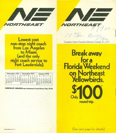 Northeast Airlines Schedule & Route Map 1971
 Northeast Airlines "North by Northeast"
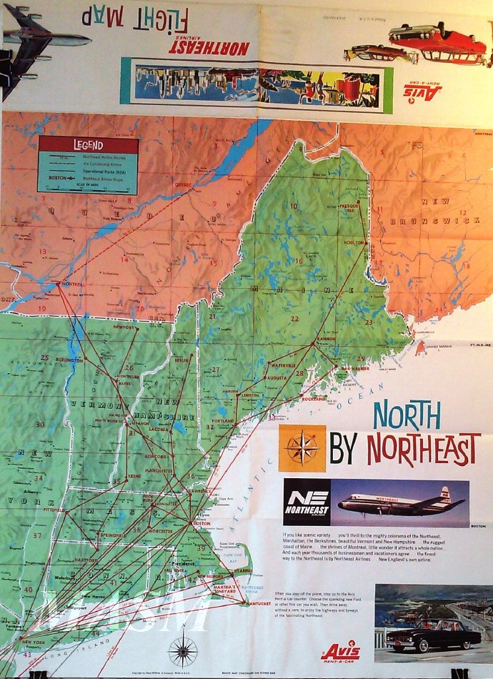 Northeast Airlines Map Front
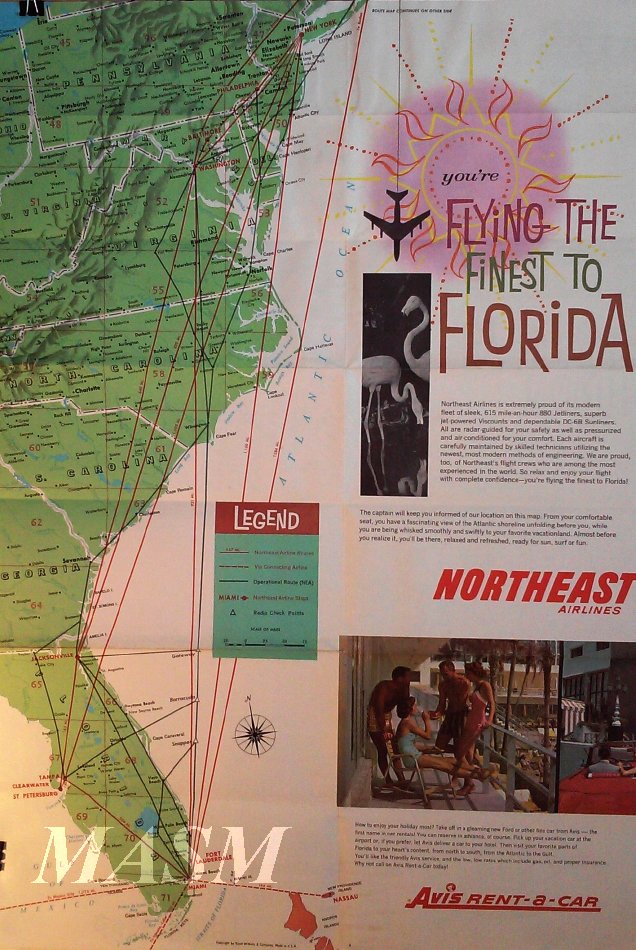 Northeast Airlines Map Reverse
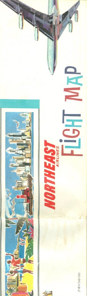 Northeast Airlines Flight Map
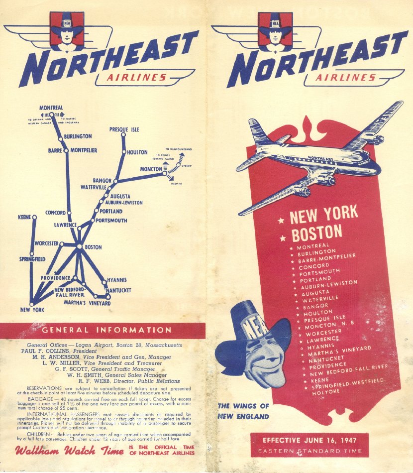 Northeast Airlines Schedule & Route Map 1947
 Northeast Airlines Schedule With Route Map 1953
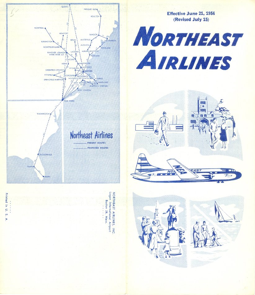 Northeast Airlines Schedule & Route Map 1956
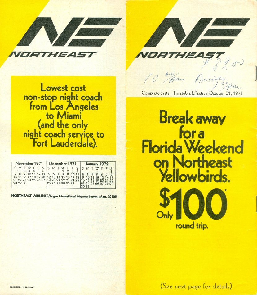 Northeast Airlines Schedule & Route Map 1971